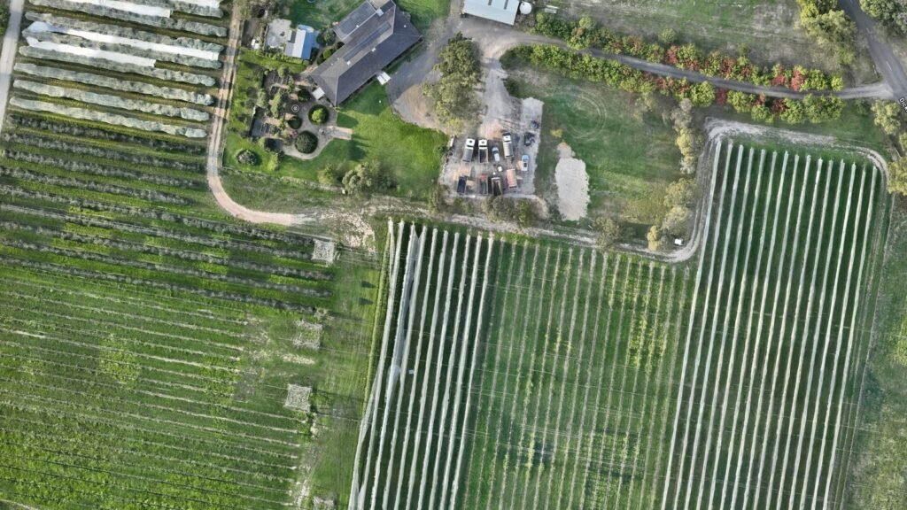
Sometimes you need more than a nice photo — you need an accurate, well-documented record of what a site looked like on a specific day, captured independently and handled properly from the moment it’s collected. That’s what a Site Record is: high-resolution aerial imagery, video and mapping data, delivered with full metadata, a clear methodology, and nothing added.
We work with lawyers, insurers, loss adjusters, building consultants and property managers across Melbourne and Australia-wide who need a dependable third party behind the camera.
What Is a Site Record?
A Site Record is an independent, timestamped set of aerial data capturing the condition of a property or site at a specific point in time — imagery, video and, where the brief calls for it, an orthomosaic or elevation model. There’s no commentary and no conclusions attached. Just accurate, well-documented capture that your own report, claim or matter can be built on.
The Site Record Pack — What’s Included
Every job is delivered as a Site Record Pack: a fixed set of inclusions so you always know exactly what you’re getting, scaled to the size of the site.
Essential — Single Dwelling or Small Site
- Full-resolution imagery and video
- Metadata manifest (GPS, altitude, timestamps, EXIF)
- Flight log
- One-page capture methodology statement
- File integrity hashes
- Secure digital delivery
Standard — Commercial or Multi-Dwelling Site
- Everything in Essential
- Orthomosaic and/or digital elevation model
- Expanded coverage and capture angles
Comprehensive — Large or Broadacre Site
- Everything in Standard
- Full-site orthomosaic and DEM
- Multi-visit or progress-capture options
Our Capture Methodology
Every Site Record follows the same disciplined process, regardless of what the data is eventually used for:
- Brief & scope — we confirm exactly what needs to be captured and why, and plan the flight accordingly.
- Flight planning & approvals — airspace checks and any required approvals are handled before we arrive on site.
- On-site capture — carried out under our CASA remote pilot licensing, with a consistent, repeatable approach.
- Data processing & verification — imagery is checked, metadata is verified, and the pack is assembled.
- Secure delivery — your Site Record Pack is delivered via a secure link, with file integrity hashes so the data can be verified as unaltered.
Who Relies on Independent Aerial Records
Legal Professionals
Property, construction and insurance litigation matters often turn on the condition of a site at a specific point in time. We provide fast, independent aerial capture with intact metadata and a documented methodology — a reliable record your matter can be built on, without us offering any opinion on what it means.
Insurers & Loss Adjusters
Rapid, consistent aerial capture for damage assessment, complex sites and hard-to-access structures — delivered in a standardised format your team can drop straight into a claim file. Available for individual instructions and ongoing panel arrangements, including surge capacity during storm and catastrophe events.
Building Consultants & Engineers
If you write the dilapidation, defect or condition reports, we can capture the aerial data your report relies on — safely, quickly, and to a consistent standard — so you can focus on the assessment rather than the access problem.
Property & Strata Managers
A clear aerial record of a property’s condition — before works begin, after an incident, or simply to have on file — captured properly and stored securely.
What We Don’t Do
We’re aerial data specialists, not report writers or licensed surveyors — and we think that’s worth being upfront about. We don’t write dilapidation, building or condition reports, though we’re glad to capture the data your consultant needs to write theirs. We don’t determine legal property boundaries — that’s reserved for a licensed cadastral surveyor, and we’re happy to refer you to one if that’s what your project needs. And we don’t offer opinions or conclusions on what the data shows. What we do is capture accurate, well-documented aerial data, reliably and independently, the same disciplined way every time.