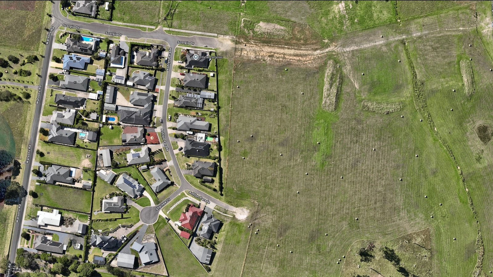
Precise, georeferenced aerial imagery for surveying and planning
Orthomosaic of residential subdivision development showing houses, streets, and paddocks with precise georeferencing. Used for progress documentation and planning verification.
Type: Georeferenced Orthomosaic
Setting: Residential development
Application: Development tracking and progress reporting
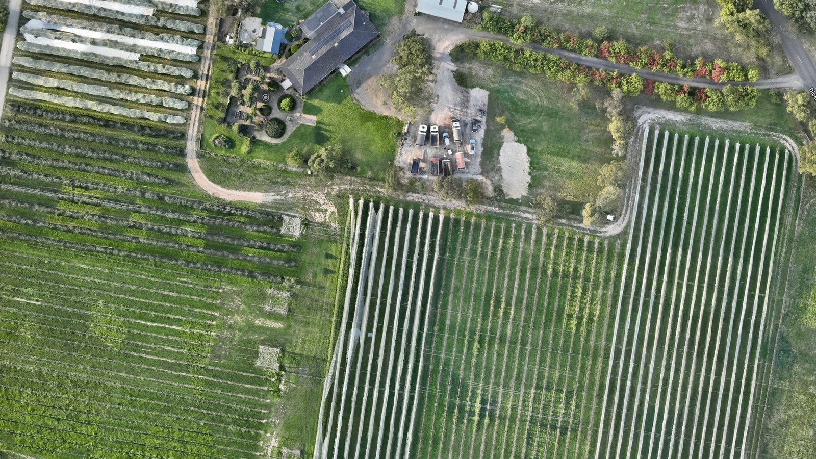
Precision orthomosaic of agricultural property showing crop rows and field patterns. Ideal for crop monitoring, management planning, and yield analysis.
Type: Georeferenced Orthomosaic
Setting: Vineyard and orchard
Application: Crop management and precision agriculture
Track progress, verify completed work, and document site conditions against construction plans.
Precise measurement of distances and areas for professional surveying, boundary definition, and planning applications.
Crop health assessment, forest inventory, and precision farming management with actionable aerial intelligence.
Development planning, subdivision design, and infrastructure assessment with accurate site mapping.
Compelling aerial marketing imagery and accurate property documentation for valuations and sales.
Habitat monitoring, vegetation mapping, and environmental impact assessment with precise baseline imagery.
We deliver precise orthomosaics suitable for professional surveying, engineering, planning, and analysis. Whether you need a single site or ongoing aerial monitoring, we're ready to help.
Request a Quote