Construction projects demand precision, accountability, and clear documentation at every stage. From initial site surveys through to final handover, having accurate aerial records of your project is invaluable. Orthomosaic mapping is a drone-based imaging technique that delivers precisely georeferenced, high-resolution aerial photographs stitched together to create a seamless, true-to-scale map of your construction site.
Whether you're managing a residential subdivision, a commercial build, or large-scale infrastructure works in South East Melbourne or across Australia, orthomosaic mapping for construction provides the visual clarity and documentation your project needs to stay on track.
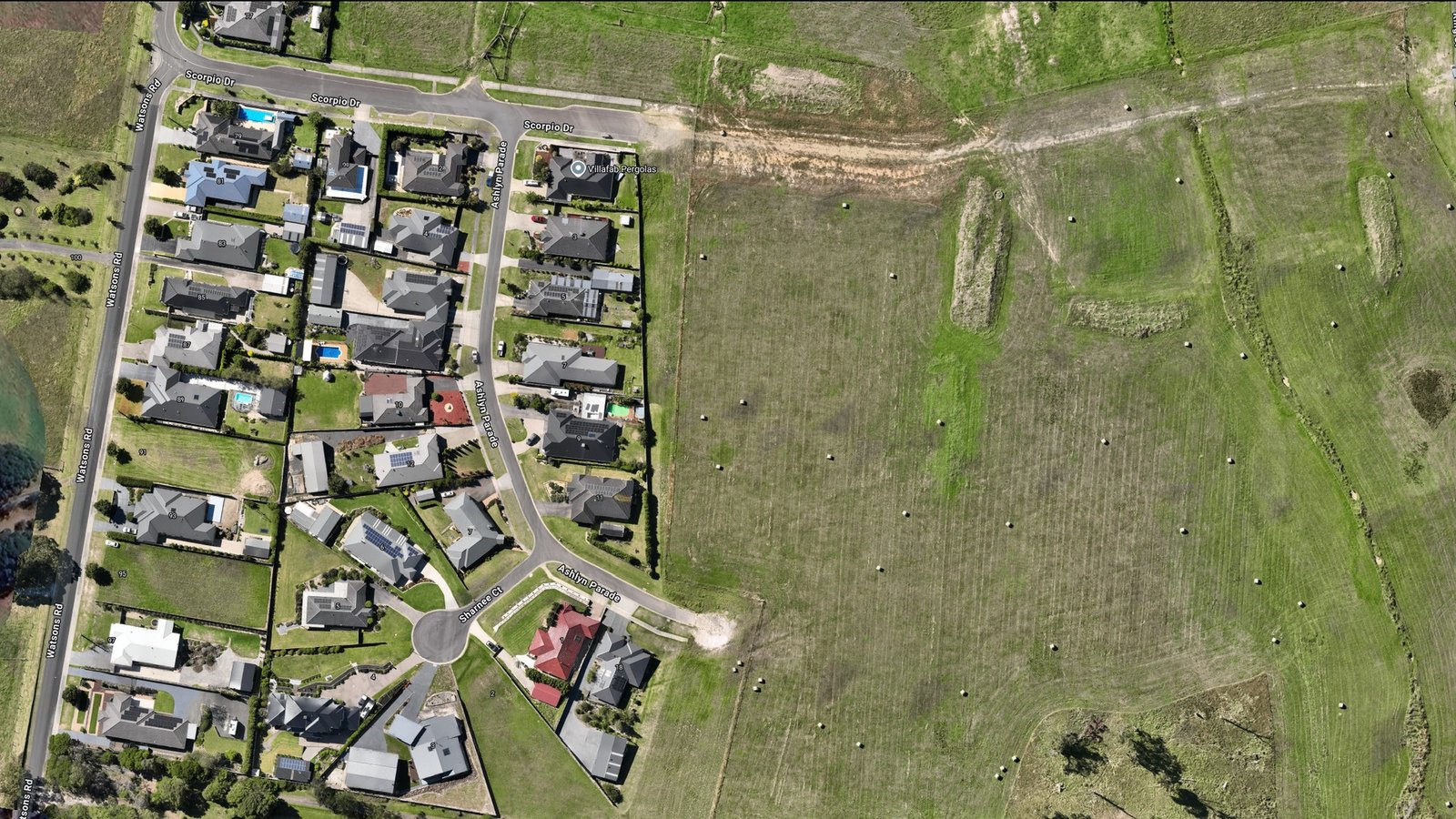
What is Orthomosaic Mapping?
Orthomosaic mapping is the process of capturing overlapping aerial photographs using a drone, then digitally processing them to create a single, corrected image where every pixel is positioned to its true geographic location. Unlike standard aerial photos, an orthomosaic removes perspective distortion—the image is geometrically accurate, measurable, and consistent regardless of terrain elevation.
For construction sites, this means you get a flat, true-to-scale representation of your project from directly above. You can measure distances, track feature positions, and monitor site progress with confidence that your data is accurate and reliable.
Why Construction Sites Need Orthomosaic Mapping
Construction environments are dynamic. Progress happens quickly, conditions change, and stakeholders need current, factual information to make decisions. Orthomosaic mapping captures the current state of your site at a moment in time, providing an objective visual record that serves multiple purposes:
- Progress tracking: Monitor work completion across phases, stages, and trades without visiting the site
- Site measurement: Analyse distances, areas, and feature positions with survey-grade accuracy
- As-built documentation: Create a permanent record of how the project was actually constructed
- Stakeholder reporting: Share clear, professional documentation with clients, lenders, and regulators
- Quality assurance: Identify potential issues or deviations from design before they escalate
- Insurance and claims: Have objective photographic evidence for dispute resolution
Benefits of Orthomosaic Mapping for Construction
Adopting orthomosaic mapping as part of your project workflow delivers tangible benefits across cost, time, and quality:
Accelerated Progress Tracking
Instead of conducting site walks or relying on contractor reports, you can review current aerial imagery within hours of capture. This enables faster decision-making and reduces the time spent on site inspections, particularly valuable for large or geographically dispersed projects.
Precise Site Measurements
Orthomosaics are georeferenced to real-world coordinates, allowing you to measure distances, calculate areas, and analyse spatial relationships directly from the image. This reduces the need for repeat site surveys and provides a quick way to verify layout, setbacks, and feature positioning against design specifications.
Professional As-Built Documentation
Construction creates liability. Having accurate, datestamped orthomosaic images at key project milestones serves as definitive proof of how work was executed. This is invaluable for handover, warranty periods, and any future maintenance or modification decisions.
Stakeholder Confidence
Investors, clients, and regulators all appreciate clear visual evidence of progress. Orthomosaics are immediately intuitive—stakeholders can see exactly what's happening on site without technical interpretation, building confidence and trust.
Regulatory Compliance
Many projects require documented evidence of environmental controls, site conditions, or construction methods. Orthomosaics provide an independent, objective record that satisfies audit and compliance requirements.
How Orthomosaic Mapping Works on Construction Sites
The orthomosaic process follows a structured workflow optimised for construction environments:
Flight Planning
We design a flight path that ensures complete site coverage with appropriate image overlap (typically 70–80% overlap in both directions). The flight plan accounts for site hazards, airspace restrictions, and project boundaries to capture all areas efficiently whilst maintaining safety.
Aerial Capture
Our drone captures overlapping photos at a consistent altitude, ensuring uniform image resolution and quality across the entire site. We typically schedule flights for consistent lighting conditions and coordinate around site activities to avoid obstacles.
Processing and Georeferencing
Raw images are processed using specialist software that aligns overlapping photos, corrects for camera distortion and terrain variations, and references the result to real-world coordinates. The output is a single, seamless orthomosaic image with known scale and position.
Delivery and Integration
We deliver the final orthomosaic in multiple formats suited to your workflow: high-resolution imagery for detailed analysis, GeoTIFF format for GIS systems, or as an interactive web map for easy sharing and collaboration.
Use Cases Across Construction Types
Residential Subdivisions
Track lot completion, driveway pours, and landscape works across multiple stages. Orthomosaics help coordinate between sections and monitor stockpiles and site materials.
Commercial and Multi-Storey Buildings
Document structural progress, facade installation, and site logistics. Orthomosaics are particularly valuable for high-rise projects where ground-level visibility is limited.
Infrastructure and Civil Works
Monitor earthworks, road construction, and utility installation across linear or dispersed sites. Orthomosaics help manage traffic management, environmental controls, and vegetation clearing.
Industrial and Specialist Projects
Document equipment installation, plant setup, and confined space works. The objective visual record is invaluable for complex or hazardous construction environments.
Integration with BIM and Project Management
Modern construction relies on Building Information Modelling (BIM) and digital project management systems. Orthomosaics integrate seamlessly into these workflows:
- BIM comparison: Overlay the orthomosaic against BIM models to verify as-built conditions versus design intent
- Progress documentation: Attach orthomosaics to project schedules as visual proof of milestone completion
- Quality assurance: Reference orthomosaics in inspection reports and defect registers
- Handover packages: Include orthomosaics in as-built documentation and asset registers
- Change management: Use orthomosaics to document deviations from design and support change order justification
Why Choose Aerial Imaging Australia for Construction Orthomosaics
Orthomosaic mapping is only valuable if it's accurate, timely, and delivered in formats that actually support your project workflow. At Aerial Imaging Australia, we specialise in construction applications and understand what builders, developers, and site managers need:
- Construction expertise: We work with construction teams regularly and understand project timelines, safety protocols, and reporting requirements
- Rapid turnaround: We prioritise fast processing and delivery so your reports and decisions don't get delayed
- Flexible formats: We deliver orthomosaics in formats that integrate with your existing systems—GeoTIFF, GIS, web maps, or high-resolution imagery
- Technical support: We help you interpret results, measure features, and integrate orthomosaics into your project documentation
- Consistent quality: Every flight is planned and executed to ensure consistent, reliable results across repeated surveys
Whether you need a single orthomosaic for a project milestone or regular monthly surveys throughout construction, Aerial Imaging Australia delivers the precision and reliability your project deserves.