Drone mapping on a construction site isn’t a nice-to-have photo service — used properly, it pays for itself on the first earthworks claim. Here’s where the money actually comes from, with the numbers that matter.
1. Cut and fill calculations without the argument
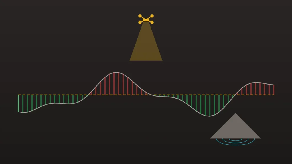
Earthworks disputes are usually volume disputes. A drone-derived surface model turns a cut and fill calculation from an estimate into a measurement: fly the site before and after works, difference the two surfaces, and the moved volume is arithmetic, not opinion. When a contractor’s claim and the model disagree by thousands of cubic metres, the model wins the conversation — and a single corrected over-claim typically covers a year of mapping flights.
2. Stockpile volumes measured, not guessed
Walking stockpiles with a tape or eyeballing truck counts routinely mis-states inventory by 10–20%. A stockpile volume calculation from a mapping flight measures every pile on site in one pass, at a marginal cost approaching zero once the site is being flown anyway. For sites paying by the tonne of imported fill or selling excavated material, that error margin is real money every month.
3. Progress claims backed by dated evidence
Monthly construction progress monitoring flights produce a dated orthomosaic of the whole site. Progress claims assessed against that record settle faster, with fewer disputed line items — and if a dispute does escalate, the record already exists (see our guide to aerial records across a project).
4. Fewer people walking hazardous ground
Every measurement taken from the air is one less person on a batter, beside a trench, or under live plant. Safety incidents carry direct costs; so do the site shutdowns that follow. Aerial capture takes entire categories of routine measurement out of the risk zone.
5. Rework caught while it’s cheap
A fortnightly orthomosaic overlaid against design shows drainage runs, pads and set-outs drifting from plan while correction is still an excavator hour, not a demolition. The mapping flight that catches one mislocated pad has paid for the year.
What it costs against what it returns
Regular mapping flights on a metro Melbourne site typically run a few hundred dollars per visit, delivered as orthomosaic + surface model + measurable outputs your engineers use directly. Set against one corrected earthworks over-claim, one avoided remeasure dispute, or one early-caught set-out error, the program is cheap insurance that also happens to produce your marketing time-lapse (one flight schedule, two products).
We’re a CASA-licensed Melbourne operator producing measurement-grade aerial data for construction teams — and where certified levels are required, we work alongside your licensed surveyor rather than instead of one. Send through your site and program for a per-visit quote.