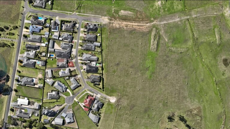
Orthomosaic Mapping
Explore our Orthomosaic Mapping projects — precise, georeferenced aerial imagery for construction, agriculture, and property. View the full Orthomosaic portfolio.
Read More Explore our Orthomosaic Mapping projects — precise, georeferenced aerial imagery for construction, agriculture, and property. View the full Orthomosaic portfolio.
Read More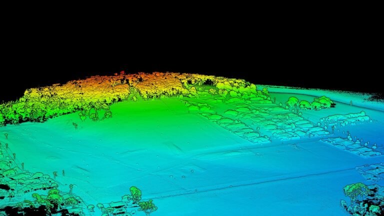
Explore our Digital Elevation Model projects — precision terrain data for engineering, planning, and analysis. View the full DEM portfolio.
Read More