Aerial Video of Your Home: Costs, Uses and What to Expect
An aerial video of your home used to be an expensive novelty. Now it’s a $300–$800 add-on that does three different jobs — selling, insuring, and simply keeping a record […]
An aerial video of your home used to be an expensive novelty. Now it’s a $300–$800 add-on that does three different jobs — selling, insuring, and simply keeping a record […]
Thinking about drone photos for your house sale? Short version: on the right property they measurably lift buyer interest, they cost less than most vendors expect, and your agent may […]
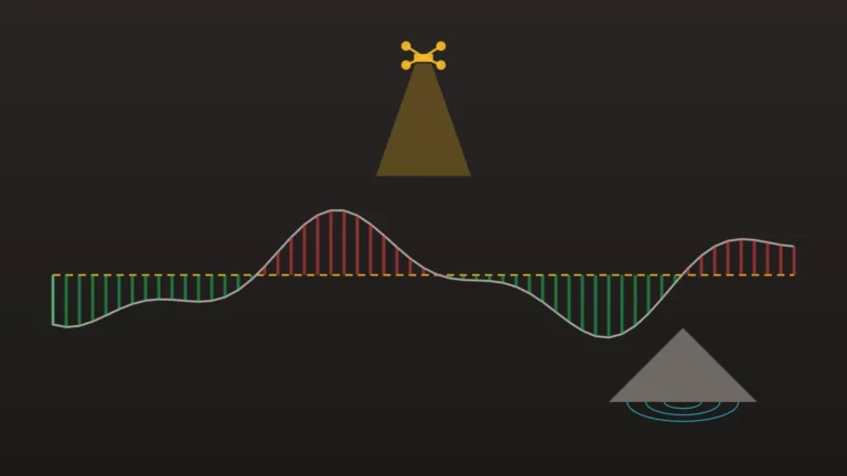
Drone mapping on a construction site isn’t a nice-to-have photo service — used properly, it pays for itself on the first earthworks claim. Here’s where the money actually comes from, […]

Aerial footage of a wedding or event can be spectacular — the venue in its landscape, the crowd from above, golden-hour establishing shots no ground camera can get. It can […]

Searching for drone photography in Melbourne turns up dozens of operators, quotes from $250 to thousands, and not much help deciding. This is a plain guide to what drone photography […]
Aerial photos sell property. Agents know it, vendors increasingly expect it, and on anything with land, position or outlook — acreage, corner blocks, new estates, anything near water or parkland […]

Adjusters don’t need another opinion — they need a reliable, dated visual record of the loss, fast, in a format that drops straight into the claim file. That is the […]

When a matter turns on the state of a site — encroachment, construction damage, nuisance, contested conditions, pre-demolition state — you need a current, dated, independent visual record before anything […]
What aerial photos add to a property listing, what they cost in Australia, and how to choose a CASA-accredited drone operator — for agents and private sellers.

What a topographic survey captures, who needs one, and how drone photogrammetry produces contours, a DEM and bare-earth terrain data for design work.